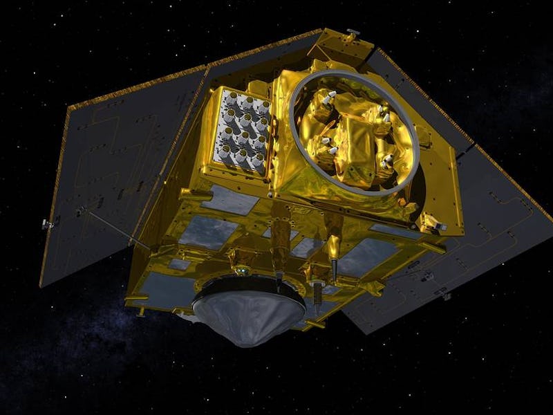
NASA, ESA are preparing to launch the largest Earth-observing satellite ever
The spacecraft has an unmatched vantage point on rising sea levels.

The world's largest Earth-observing satellite is getting ready for liftoff.
On November 21, the European Space Agency (ESA) and NASA will launch the Sentinel-6 Michael Freilich spacecraft into Earth's orbit where it will keep a watchful eye on a dangerous side effect of climate change — rising sea levels.
Viewing the Earth from space, it has an unparalleled view of this deadly trend on a global scale — and could help us here on Earth tackle it.
As global temperatures rise, melting glaciers and ice sheets have combined with the thermal expansion of seawater to increase sea levels at an alarming rate. Since 1880, global mean sea level has risen about 8–9 inches, according to the National Oceanic and Atmospheric Administration.
"People have been interested in measuring sea level, they’ve been using dip sticks essentially in the years since ships were out on the ocean and people were curious what’s happening living close to the ocean," Parag Vaze, a NASA Earth project manager for the Sentinel-6 mission, said during a teleconference on Tuesday.
"But that is a difficult process to really understand what’s happening precisely across the world."
Instead, Vaze suggests that satellite remote sensing really is the way to go when trying to get a better understanding of the global effect of rising sea levels.
In fact, Sentinel-6 is not the first of its kind. Space agencies have been observing the effects of changing global temperatures on our planet for years.
Sentinel-6 is a joint mission by NASA and the European Space Agency, European Organization for the Exploitation of Meteorological Satellites, and the National Oceanic and Atmospheric Administration.
The Copernicus Sentinel-6 mission includes two identical satellites, Sentinel-6 Michael Freilich and Sentinel-6B, which will launch five years apart and supply data to scientists until at least the year 2030.
Pale Blue Dot — The new Earth-observing satellites build on the heritage of ESA's Copernicus Sentinel-3 mission, which first launched in 2014 and remains the most ambitious Earth observation program to date.
"Understanding and quantifying what’s happening with the ocean is difficult to do, it’s changing slowly but it is changing," Vaze said. "And understanding how quickly that's changing requires a measurement that’s very precise and continuous."
While orbiting in space, satellites have an unmatched vantage point that allows them to gather precise and inclusive data.
This gif shows the radar pulse from the Sentinel-6 satellite's altimeter bouncing off the sea surface.
Sentinel-6's radar altimeter instrument calculates the distance between the satellite and Earth by measuring the time it takes for a transmitted radar pulse to reflect Earth’s surface. The returned echo pulse from the sea surface provides a waveform that is then processed to determine the height of the sea's surface and the wave height, as well as the surface wind speed from the roughness of the ocean.
Unlike previous Earth observation missions, the Sentinel-6 observatory will collect measurements at a much higher resolution, and be able to measure smaller sea level variations near coastlines.
The satellite will also provide near-realtime measurements of sea-surface height, significant-wave height, and wind speed. All of these can support ocean forecasting, crucial to sustainable ocean-resource management, coastal management, and environmental protection, as well as the fishing industry.
"Sea level rise is an extremely important topic, something that people have seen in their backyards with the oceans changing over time," Vaze said.
"It affects everyday life. It affects commerce, it affects all kinds of applications where people really want and need to know what’s happening to our oceans that surround our Earth."