NASA Releases Satellite Images of What Earth Looks Like to an Astronaut
Make some time for this PDF and thank us later.

The Institute for Global Environmental Strategies has a free PDF anthology with some sweet images of Earth’s protected areas out titled Sanctuary.
The images, collected from such providers as NASA’s Jet Propulsion Laboratory and DigitalGlobe satellite imaging, give an astronaut’s view to the planet’s varied ecosystems. You should clear an hour to read it, right now, and you’re welcome.
Kuiseb River, Namibia
Shark Bay, Western Australia
There are about 209,000 protected areas on the planet, which is about 14 percent of all land and 11 percent of all coastal areas.
Yakutat Glacier, Alaska
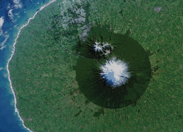
Egmont National Park, New Zealand
Those areas, as represented in the collection, include a wildly divergent number of ecosystems, from redwood forests in California to African jungles to Antarctic coastal regions. NASA Satellite images show a whole new layer of understanding as to how fragile some of these ecosystems are and how much has already been eroded by climate change.
Saltfjellet-Svartisen National Park, Norway
Tides spreading from the Gulf of Oman into the Persian Gulf
Tides spreading from the Gulf of Oman into the Persian Gulf in November 2008 as tracked by satellite imaging.