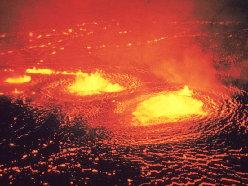
You Can Now See the Damage from Hawaii's Kilauea Volcano from Space
The lava is becoming more widespread.

With over 20 fissures still gushing lava on Hawaii’s Big Island, the damage caused by the Kilauea Volcano has become so widespread that it can now be seen from space.
On Friday, the European Space Agency (ESA) tweeted satellite images that were first captured by the Sentinel-2 on May 23. Sentinel-2 is the agency’s Earth observation mission that detects changes in the planet’s surface. The satellite, which offers forest monitoring and natural disaster management, offered surprising new photographs that reveal the extent of Kilauea’s damage.
It’s unusual for volcanic activity to make that great of an impact on satellite imaging, but the Kilauea Volcano has managed to cover nearly 2,400 acres in lava. According to Federal Emergency Management Agency (FEMA), at least 82 structures have been damaged or destroyed by lava, 41 of which are homes. Lava spatter has led to serious injuries and the extent of lava flows catalyzed hundreds of displacements, where at least 230 people are now in shelters.
Satellite image of lava from Kilauea Volcano
The lava isn’t the only carnage that the volcano has caused. Since Kilauea first erupted on May 3, it has spewed giant rocks the size of refrigerators, opened several dangerous fissures, literally screamed, and then farted copious amounts of toxic sulfur dioxide in the air, creating a rotten-egg smell that could, under some conditions, contribute to acid rain.
ESA’s satellite images of Hawaii’s Big Island suggest that it’s still possible for the Kilauea lava flows to cut off all access to the Lower Puna area. Government officials have already begun planning helicopter evacuations in preparation of that development.
The latest update from the US Geological Survey (USGS) notes that the fissure system continues to produce robust eruptive activity in the Lower East Rift Zone. Beyond the destruction visible from space, the agency also warns that volcanic gas emissions remain very high from the fissure eruptions.