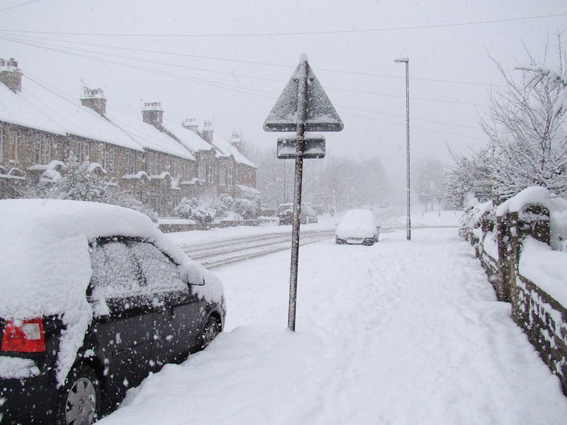
'Bomb Cyclone' Set to Freeze East Coast Will Transform Over 24 Hours
Fortunately, we've dealt with these 'weather bombs' before.

Ringing in the new year with a bang, a type of winter storm known as a “bomb cyclone” is set to crash into America’s east coast, bringing blizzard conditions and trapping the bitterly cold air that’s already crippling the Atlantic states. The storm is expected to begin forming off the coast of Florida on Wednesday and, over the next 24 hours, race northward to the coast of Long Island. In that time, it will undergo a monumental drop of pressure.
It’s that immediate drop in pressure that qualifies this storm as a bomb cyclone or “weather bomb” — or, in technical terms, an “explosive cyclogenesis” or “extra-tropical cyclone.” According to the National Oceanic and Atmospheric Administration’s Hurricane Research Division, a storm falls into the extra-tropical cyclone category when its pressure drops by 24 millibars or more in 24 hours. Between 1 p.m. on Wednesday and 1 p.m. Thursday, the minimum central air pressure of Winter Storm Grayson is expected to drop from 999 millibars to 946 millibars — a whopping 53-millibar drop.
Huge drops in pressure are consequential because they create a void in the center of the storm, inviting in cool, high-pressure air from neighboring regions to rush in toward the warm-low pressure air. Generally, the lower the pressure of a storm is, the stronger it will be. The cold air rushing into the middle of Winter Storm Grayson is what people on the northeast are going to experience as frigid temperatures, whipping winds, and blinding snowstorms.
Scary as the term “bomb cyclone” may sound — it’s simply meant to refer to the explosive strengthening triggered by its sudden drop in pressure — it’s not the first time in recent history that the U.S. has experienced a storm like this. In October of 2010, one brought strong winds, rain, hail, and tornadoes to the American midwest; its pressure also dropped significantly over 24 hours to a pressure of 955.2 millibars, qualifying it as a “bomb”, according to NASA’s Earth Observatory. Below is a photo of the bomb cyclone forming over land, though NASA notes that these kinds of storms much more commonly form over the water.
A bomb cyclone, or "extratropical cyclone', hit the American midwest in October 2010.
Similarly, in 2014, another extratropical cyclone called Typhoon Nuri slammed into Alaska after first forming as a tropical cyclone over Japan. When it first started, Typhoon Nuri was fairly intense, with a pressure of about 987 millibars and wind speeds of 80 mph at maximum, but as it moved northward into waters with more dramatic temperature differences it transformed into a super-storm, as the Washington Post described:
The GFS weather model predicts this storm’s central pressure will free fall an astounding 58 millibars (mb) in 24 hours – from 976 mb at 8 p.m. (ET) Thursday to 918 mb at 8 p.m. Friday (ET). This is so-called “bombogenesis” to the extreme.
The video below shows how Nuri’s strength grew as it moved northward, giving some indication of what Winter Storm Grayson’s growth trajectory might look like.
Over the next two days, cities along the Atlantic, from northern Florida all the way up to northern New England should prepare for bitter cold as well as freezing rain, sleet, and snow, according to the National Weather Service. Regions north of New York are expected to get slammed the most by snow and strong winds, and residents of northeastern cities, like Boston, are being warned to prepare for potential power outages.
The good news is: We’ve weathered weather-bombs before — and despite Grayson’s admittedly intimidating intensity (and some of the scary headlines being written about it), it’s not likely to be a storm we can’t handle.