7 Graphics That Explain the August 21 Solar Eclipse
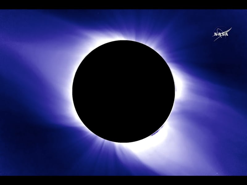
Total darkness sure looks colorful.

NASA spent its Wednesday afternoon previewing the incredibly exciting upcoming August 21, 2017 solar eclipse, set to streak across the continental United States, coast to coast. The moon will move in front of the path of the sun and cast a direct shadow on Earth’s surface. As Thomas Zurbuchen, head of NASA’s Science Mission Directorate, put it at Wednesday’s media briefing, the planet will watch “these bodies come together in a cosmic alignment…all of a sudden, day will turn into night — and back again.”
During two different presentations, NASA managed to drop seven different graphics which illustrate exactly what people in America will see as the eclipse’s shadow crawls over the country over 93 minutes.
NASA has 11 satellites with which to observe the eclipse.
NASA will have 11 satellites at its disposal to observe and study the eclipse.
The space agency currently has 11 different satellites which are used in various capacities to study the sun, Earth, the moon, and the various interactions of all three bodies with one another. The image above shows exactly where all those satellites lie, and how they’ll be used to provide an incredible array of vantage points to study the eclipse.
And those satellites will get a pretty good view.
The yellow points indicate where certain satellites will intersect with the totality.
In particular, there are over a dozen points in which NASA’s satellites will be intersecting with the total shadow cast on the continent as the eclipse progresses. At these points, the satellites have an incredible ability to collect extremely useful data related to the sun’s corona.
The rest of the world is hyped as well.
A bigger map of various international satellites capable of studying the eclipse
But it’s not just NASA revving up for the August eclipse. The National Oceanic and Atmospheric Administration (NOAA), and the country’s international science partners are all excited to use their instruments to observe the eclipse unfold as well.
The weather will be a major concern.
The coasts are most prime to be afflicted by cloud cover.
It’s way too early to tell what the weather is going to look like on August 21, but keep your fingers crossed that cloud cover will me minimal. NOAA, which runs the country’s major meteorological satellites and instruments, will be extra keen on figuring out which regions will experience the clearest skies.
Traffic is another major concern
The major highways that will intersect with the path of totality
14 states lie in the path of the solar eclipse’s total shadow, and there are a ton of different interstate highways with which millions of Americans could use to travel out and get a complete view of the eclipse as it unfolds. Martin Knopp, the associate administrator of for operations at the U.S. Department of Transporation’s Federal Highway Administration, says the DOT is doing everything it can to prepare the interstate network for Americans who plan to travel out to the totality path. “We want them to get out there to enjoy the experience — but we want them to get there safely,” he said Wednesday.
The totality path isn’t the only way to watch the eclipse.
The percentage of the eclipse which will be visible away from the path of totality.
As you move away from the path of totality, the percentage of the solar eclipse’s shadow effect starts to wane. This graphic demonstrates exactly how much of the solar eclipse you’ll get to experience as if you cannot make it to the totality.
Temperatures will drop during the eclipse.
An illustration of what kind of cooling effect the solar eclipse will have.
A big-ass shadow will obviously force temperatures to drop. As the solar eclipse runs its course, it will cause a temporary cooling effect across the U.S. — nothing major, but you’ll probably notice at least a slight temperature drop, even if you are far away from the path of totality. The graphic above demonstrate how far reaching this effect could be in relation to the eclipse’s presence.