These Google Street View Images From Russia Are Beautiful and Strange
From volcanic terrain to a mining town near the Arctic Circle.

Russia is huge. So huge in fact that its territory spans from the eastern part of Europe across the entirety of Northern Asia, encompassing 11 different time zones. From the Arctic tundra, to deserts, to Europe’s largest lake, it’s a visual smorgasbord of both natural lushness and desolation. The country is also home to over 120 ethnic groups, and its rich cultural history has produced a plethora of beautiful architecture.
Since 2012, Google Street View has been documenting all the bizarre and beautiful scenery Russia has to offer, and the results are captivating. Predictably, such images run the gamut of this vast country and at times even read like a visual essay on Russia’s economic disparity.
Here are some of the most interesting images, from desolate and decrepit towns to wild scenes of natural beauty — flying Putin not included.
Uzon, Russia
The volcanic caldera Uzon in eastern Russia is a huge bowl-shaped basin formed around 40,000 years ago. Its thermal fields are home to over 1,000 hot springs and a number of thermal lakes.
Vorkuta, Russia
Taking a Street View tour around the blight-stricken city of Vorkuta in northern Russia is pretty mind blowing. This mining town sits on the edge of the Arctic Circle and was once home to one of Stalin’s Gulag labor camps.
Psydakh and Shapsug Waterfall in Russia
Walk into the Psydakh and Shapsug waterfall in the Lazarevsky District of Sochi.
Astrakhan, Russia
You can extensively visit this neighborhood in Astrakhan in southern Russia, for some reason.
Kronotsky Lake, Russia
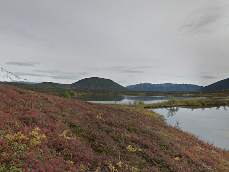
Kronotsky Lake, Green Island, in the far east of the country, features this mystical-looking snowcapped mountain in the distance.
Kurile Lake, Russia
This bear got caught mid-snack in Kurile Lake, in the Kamchatka Peninsula of eastern Russia.
Grand Kremlin Palace, Russia
To be real, you can’t virtually visit Russia and not take a trip to the Grand Kremlin Palace in Moscow. Google Street View will let you tour around the entire complex.