The European Space Agency's New Satellite Will Image Earth Every 5 Days

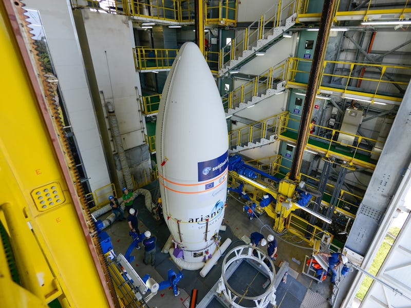
An Arianespace Vega rocket will launch the Sentinel-2B satellite into orbit at 8:49 p.m. EST on Monday, March 6 from Europe’s spaceport near Kourou, in French Guiana. Once in orbit, Sentinel-2B will join Sentinel-2A as part of an ongoing land monitoring project called Copernicus, a joint project of the European Commission and the European Space Agency. The Sentinel-2 satellite constellation, consisting of the two Sentinel satellites in polar orbit 180 degrees apart from one another, will provide high-resolution optical images of Earth. The constellation will support land-based research projects under the Copernicus umbrella by imaging soil, water, and vegetation.
Copernicus also includes a number of other Sentinel satellites, including the Sentinel-1A and Sentinel-1B, which use radar imaging, and Sentinel-4 and -5, which will monitor atmospheric conditions.
Currently, Sentinel-2A can image the entire Earth in 10 days, but once Sentinel-2A comes online, they will be able to do it in half the time.
“Sentinel-2 is the first optical Earth observation mission of its kind to include three bands in the ‘red edge,’ which provide key information on vegetation state,” says the ESA on its website. This means the satellite can take pictures that allow observers to precisely differentiate between very similar colors.
This optical precision allows scientists to use the Sentinel-2 images to distinguish between different types of crops, monitor leaf area indices, and track leaf water content. By accurately monitoring crops, scientists will be able to better advise farmers on the best adaptations to climate change and water conditions.
“While this has obvious economic benefits, this kind of information is also important for developing countries where food security is an issue,” says the ESA’s statement on the Sentinel-2 mission.
This photo from Copernicus Sentinel-2A shows snow in Sicily, with vegetation appearing red.
The ESA’s statement on the Sentinel-2 mission also says that the constellation will help scientists monitor changes in land formations, including soil cover, deforestation, and even natural disasters such as floods and volcanoes.
This image of the Ötztal Alps shows snow-capped mountains in blue, and valley bottoms in green.
The next mission, set for June 2017, will be the launch of the Sentinel-5 precursor. This mission is meant to reduce data gaps between the long-gone Envisat and the upcoming Sentinel-4 and -5.