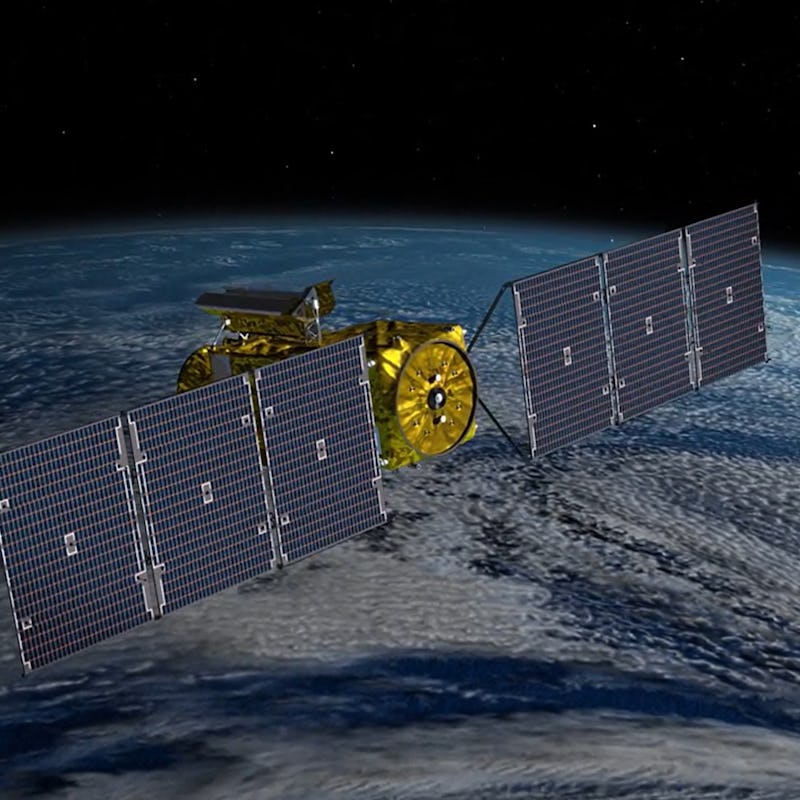
Big reveal
Watch: NASA's new satellite unwraps itself in space, like a little golden gift

NASA
But a newly-launched spacecraft called the Surface Water and Ocean Topography (SWOT) satellite will soon begin mapping the planet’s oceans, rivers, and lakes in unprecedented detail.
7. On Dec. 16, just about 50 minutes after launch, the folded-up satellite separated from the Falcon 9 rocket that carried it into space.
6. Later that day, two solar arrays unfolded from either side of the satellite.
5. Here they are clicking into place, stretching out to their full length of 48.8 feet.
4. Next, the satellite unfolded its Ka-band Radar Interferometer (KaRIn) — a process that took four days to complete.
3. Here is the KaRIn antenna reaching its full length. It’s designed to measure Earth’s water levels in unmatched detail.
2. On Dec. 22, the satellite finished deploying KaRIn, though its cameras cut out just before the process ended.
NASA
1. Now, SWOT will get to work scanning the Earth by pinging it with radar signals and listening for echoes. It will complete a full pass of the planet at least once every 21 days.